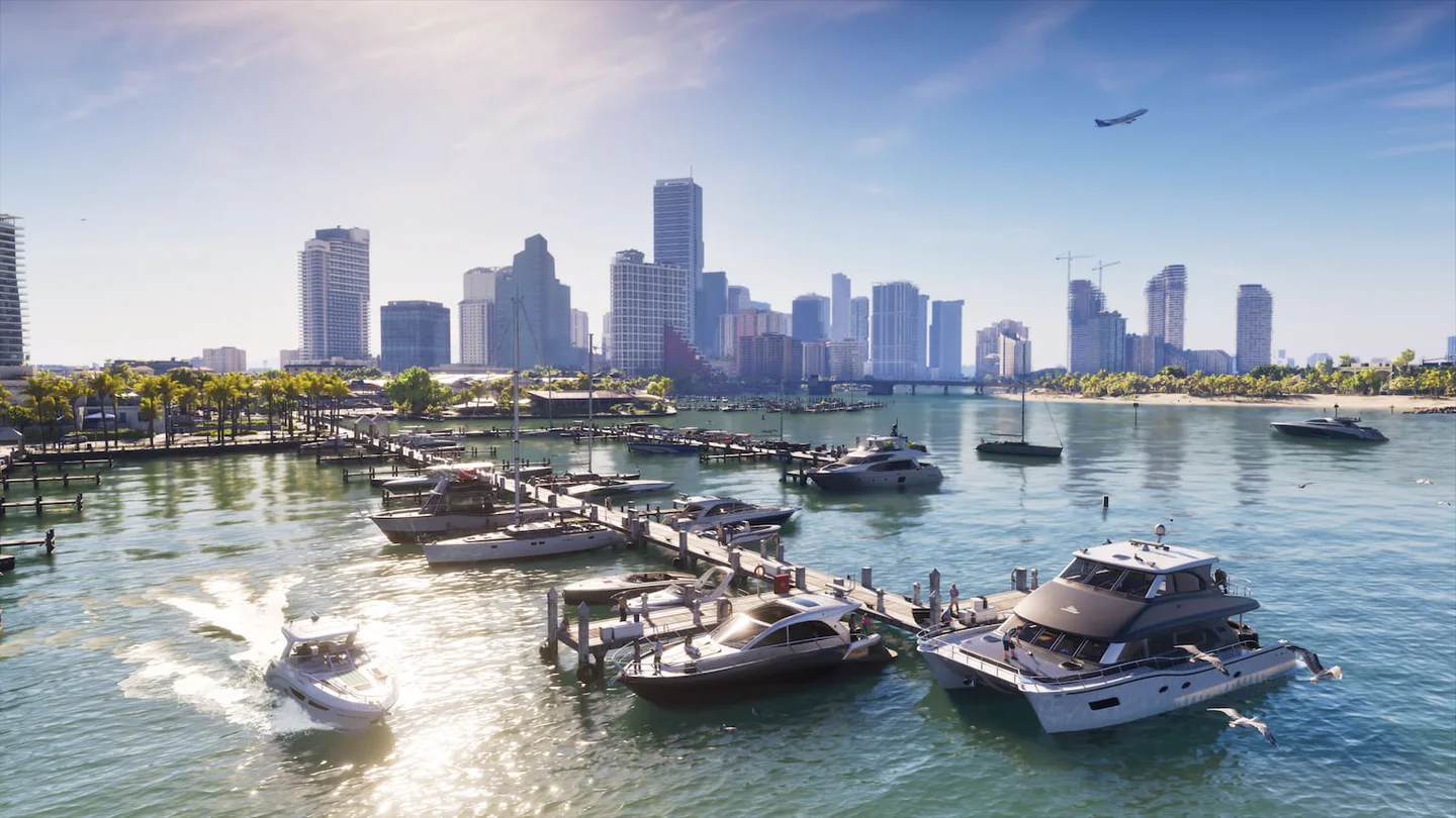
Vice City is on G7 of the official poster, Vice Beach occupies the coastal strip of G8, Port Gellhorn lies to the west on E3 and the cays extend south from K6.
city
Vice City in GTA 6
{
  "title": "Cities and neighborhoods of Leonida",
  "navTitle": "Map of cities",
  "location": "Leonida",
  "summary": "The numbers mark the approximate centre of each area. Open the full-size map to read the roads and district labels.",
  "frames": [
    {
      "asset": "leonida-cities",
      "name": "Cities and Regions",
      "caption": "Grid of the official Leonidas poster.",
      "src": "https://api.gta6zoom.com/wp-content/uploads/2026/11/gta6zoom-leonida-official.webp",
      "alt": "Official Leonidas map with numbered markers",
      "credit": "Rockstar Games",
      "source": "https://www.rockstargames.com/VI/media/artwork-wallpapers",
      "width": 1280,
      "height": 1752,
      "pins": [
        {
          "name": "Vice City · G7",
          "note": "Leonida’s main city, in Vice-Dale County. The airport lies southwest of the city centre.",
          "x": 67.34,
          "y": 52
        },
        {
          "name": "Port Gellhorn · E3",
          "note": "On the west coast, next to the northern stretch of I-404.",
          "x": 30.47,
          "y": 35.79
        },
        {
          "name": "Ambrosia · E6",
          "note": "Look for the southwest shore of Lake Leonida and Route 35.",
          "x": 55.31,
          "y": 35.67
        },
        {
          "name": "Mount Kalaga National Park · C5",
          "note": "Northern Range, east of Grayson and north of I-297.",
          "x": 49.45,
          "y": 22.72
        },
        {
          "name": "Hamlet · I6",
          "note": "South of Vice City, off Route 35.",
          "x": 55.94,
          "y": 68.26
        },
        {
          "name": "Key Lento · K6",
          "note": "First reference center to continue on the road towards Southwind.",
          "x": 57.27,
          "y": 82.93
        },
        {
          "name": "Grassrivers · I5",
          "note": "Southwest Wetlands, west of Hamlet.",
          "x": 44.77,
          "y": 66.32
        }
      ]
    },
    {
      "asset": "leonida-districts",
      "name": "Vice City and Coast Neighborhoods",
      "caption": "The dots mark approximate areas, inside or next to the map labels.",
      "src": "https://api.gta6zoom.com/wp-content/uploads/2026/11/gta6zoom-leonida-official.webp",
      "alt": "Official Leonidas map with numbered markers",
      "credit": "Rockstar Games",
      "width": 1280,
      "height": 1752,
      "pins": [
        {
          "name": "Downtown · G7",
          "note": "Look for the label next to I-97, facing the bay.",
          "x": 70.16,
          "y": 53.31
        },
        {
          "name": "Little Cuba · G7",
          "note": "It is just west of Downtown, on the mainland side.",
          "x": 66.17,
          "y": 53.14
        },
        {
          "name": "Rockridge · G6",
          "note": "North of the Vice City sign, near I-97.",
          "x": 64.38,
          "y": 49.54
        },
        {
          "name": "Decor District · F7",
          "note": "North of Stockyard, near I-97 and opposite the Leaf Links sector.",
          "x": 72.81,
          "y": 43.15
        },
        {
          "name": "Ocean Beach · G8",
          "note": "In the southern stretch of Vice Beach, in the Atlantic strip.",
          "x": 85.47,
          "y": 52.4
        },
        {
          "name": "Washington Beach · F9",
          "note": "In the northern stretch of the same beach strip.",
          "x": 87.42,
          "y": 44.29
        }
      ]
    }
  ]
}
Top cities and regions
| Place | Grid | How to recognize it |
|---|---|---|
| Vice City | G7 | It lies on the mainland, in Vice-Dale County, and Vice Beach can be seen across the bay. |
| Port Gellhorn | E3 | West coast port beside I-404. Use the bay and the highway to orient yourself. |
| Ambrosia | E6 | Town southwest of Lake Leonida, next to Route 35. |
| Hamlet | I6 | To the south, next to the intersection of the interior with the route to the cays. |
| Leonida Keys | K6–L3 | The island chain is recognized by following 1A from Key Lento to Southwind. |
| Grassrivers | I5 | Wetland west of Hamlet, near Watson Bay and Pelican Valley. |
| Mount Kalaga National Park | C5 | The park extends south of Route 628, between Grayson and Millport. |
How to distinguish Vice City and Vice Beach
Downtown and Little Cuba share G7, on the mainland. Rockridge is northwest of downtown and Decor District is further north at F7. To get to Ocean Beach, look for the Atlantic coast across the bay and follow the strip of Vice Beach south. Washington Beach is further north.
At the airport, use the VCIA runways in H6 as a landmark. The east exit leads to I-97. Use the train and metro map if you want to travel without driving.
What to look for after locating your destination
The GTA 6 interactive map groups routes by objective. For Port Gellhorn, start with the Starlet Motel route. The official printable map shows the grid in full.